
2016 • 04 • 23
Much has been said about the Taal Volcano, the second most active volcano in the Philippines that is so iconic its ubiquity can be found splashed on postcards and t-shirts. But there’s a larger picture here that begs not to go unnoticed: the Taal Lake.
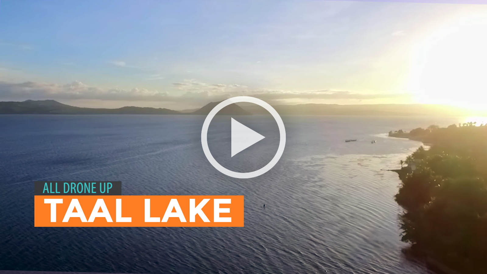
Drone Videographer and Photographer Christer Isulat had the chance to (un)cover interesting angles of the majestic lake. In his video linked below, he provides us aerial shots of the lake’s vast expanse. The serenity of its waters evokes a feeling of wanting to be in the same boat as the few boatmen we see nonchalantly rowing on the lake’s gentle, corrugated face. It pans out and gives us a glance of surrounding lands that are equal parts trees and establishments. Somewhere there, perhaps in the silent packets of time in which a subtle glow contours the skyline, you’ll feel like Jonathan Livingston Seagull—homing and wings spread—finally making sense of his life.
Too much of a stretch? You decide. Play the video (filmed in Ultra HD 4K) and be astonished by the splendor of Taal Lake while you clutch in your heart that tranquil feeling of flying.

Formerly known as Bombon Lake, the Taal Lake, which is wholly located in Batangas, is the country’s third-largest lake after Laguna de Bay and Lake Lanao. Its basin, which covers 62,292 hectares, was declared a national park by Proclamation No. 235 on July 22, 1967.
More Tips on YouTube ⬇️⬇️⬇️


Comments